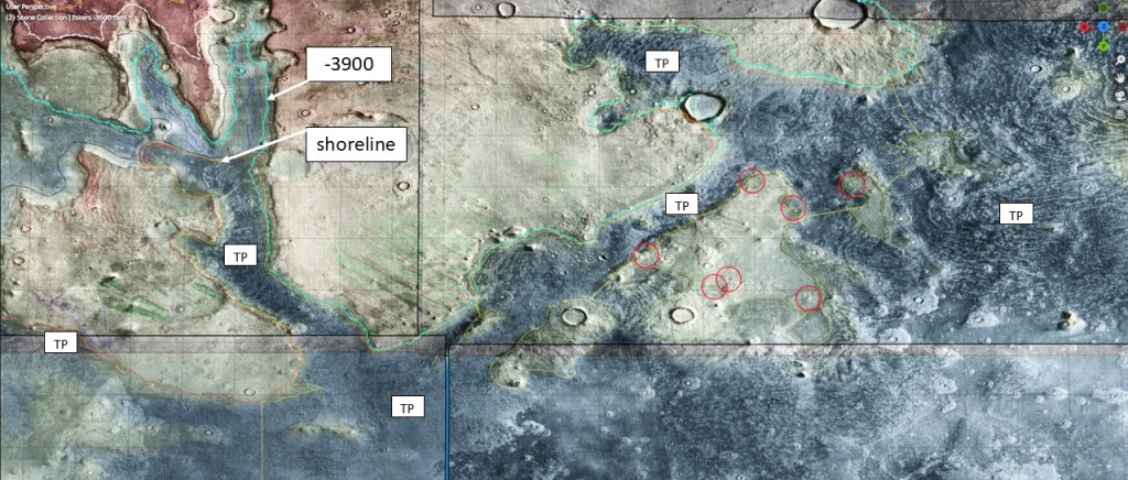
Turning back to the shoreline discussion, we find that away from the Okavango Delta we rely largely on the distribution of Thumb-Print terrain to discriminate between land and ocean, especially in the canyons where the shoreline abuts the walls.
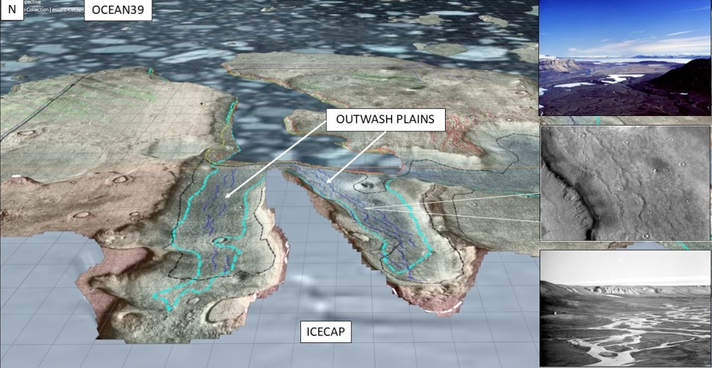
Before we leave this area, I’d like to point out one more interesting feature: some outwash plains that may or may not be glacially sourced (there are no obvious rivers debouching into these canyons). Drainage seems to be into Ocean39, so this may be evidence of an icecap present at that time. NE Greenland for analog.
For the rest of the traverse along the 39 coastline we employ, among other things, N/D IR displays:
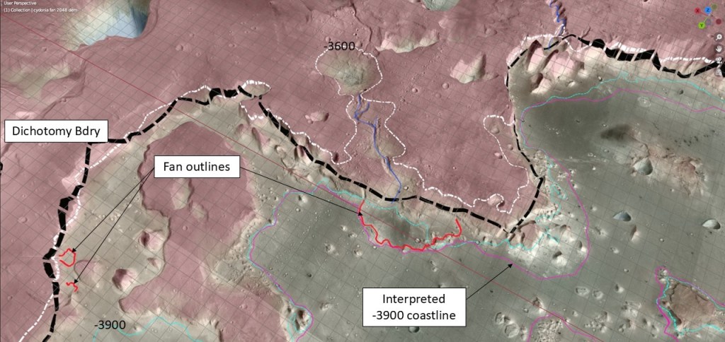
The Cydonia Mensae area is particularly chaotic, but it offers one bit of circumstantial evidence: several fans at the base of the dichotomy boundary cliff, whose abrupt terminations are just about at the proposed waterline.
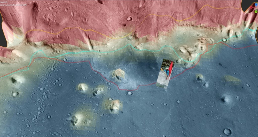
The bottom picture is interesting in that, although it has the general outline of a fan, portions of it are actually depressions with respect to the sea floor. Perhaps the gradient of the flow was steep enough to form a hydraulic jump when it encountered the ocean, and cause erosion at the base. In any case, if it demonstrates standing water, it proves the point.
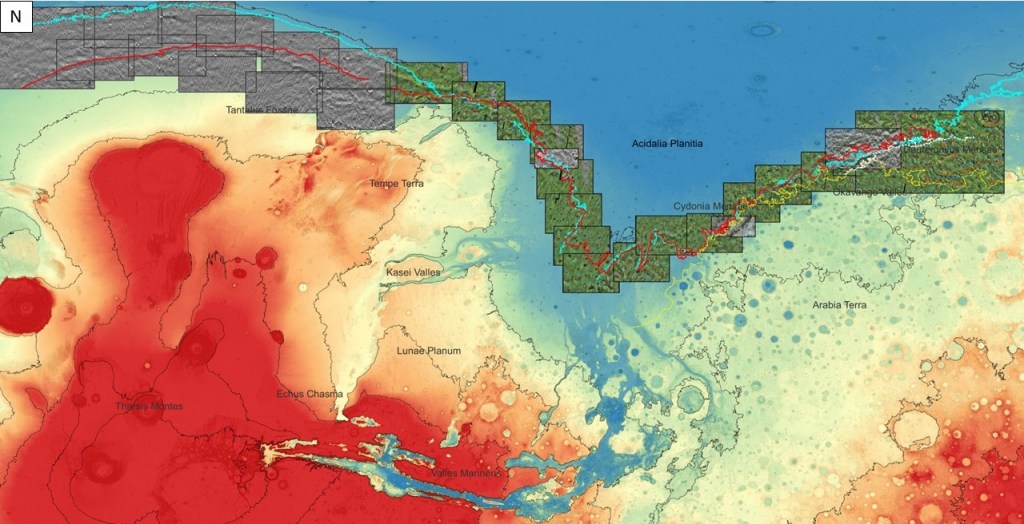
Regional context for the above:
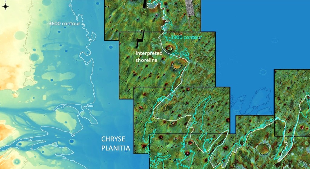
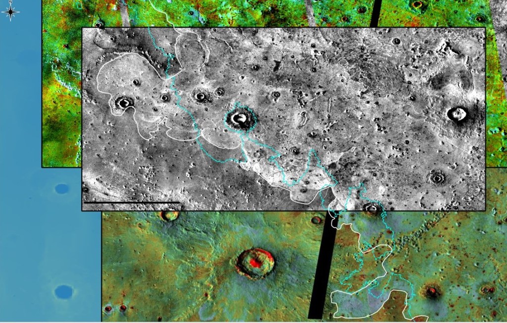
In the Chryse area, thermal properties are once again used in distinguishing the coastline:
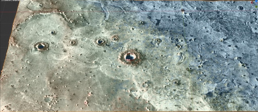
At “Tempe Bay” it gets quite definitive…
Close up, without interpretation…
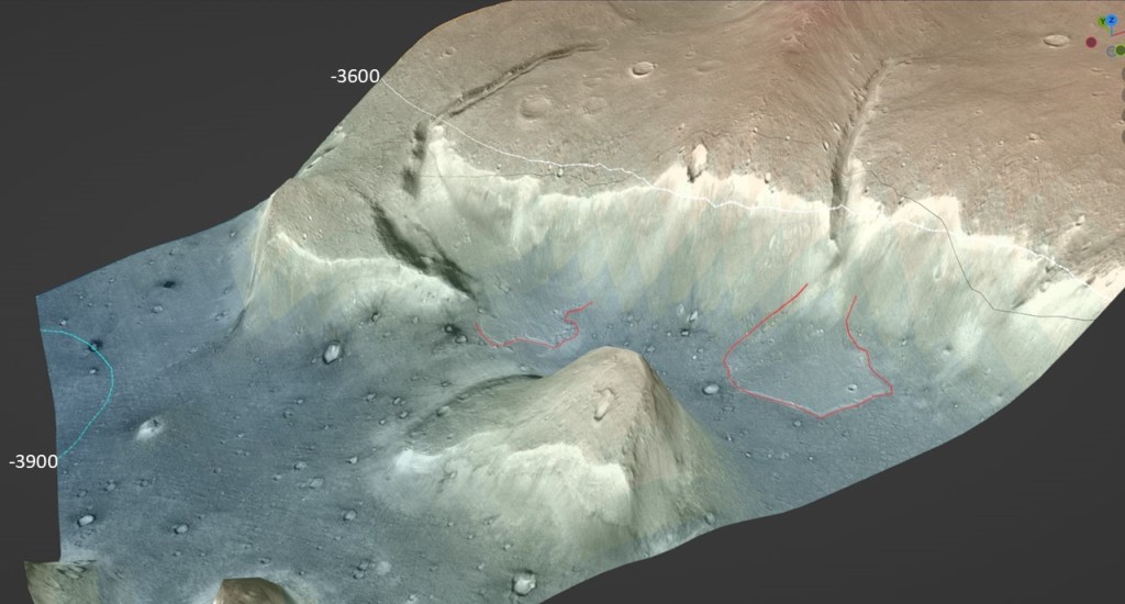
Farther up the coast, at Tantalus Fossae…
So, having gone about 7650 km along the -3900 coastline (not counting the bays and promontories), it’s time to look at the big picture:

