Rainfall, rivers, and glaciers played a role in the removal or bevelling-off of the upper plateau rocks, exposing the lower strata as illustrated below. Additionally, wave action cut into the lower unit to produce a shoreline, and glacial runoff scoured the dark basaltic rocks, exposing lighter strata beneath them
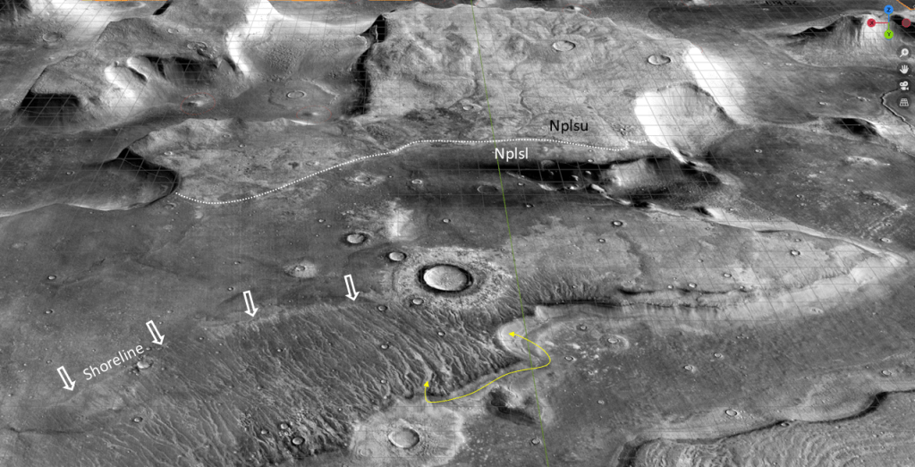
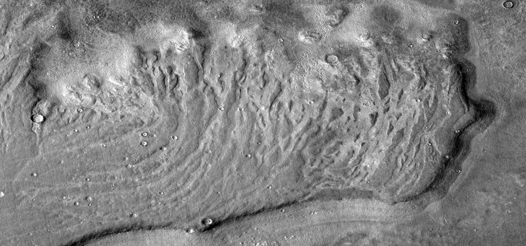
Now, this is a somewhat controversial topic: the dark rocks have been postulated to be tsunami deposits, thrown up onto the ramps by huge waves, forming lobes which were then channelized by the backwash. Inspection of the image above shows the dark rocks to extend well above the high-water line of the purported tsunami, the so-called “channel heads” which I am calling the shoreline. Higher resolution images reveal some of the dark rock to be in the form of large boulders which are taken to be clastic materials transported upslope by the tsunami wave; I take them to be products of mechanical (warm/cold cycle) in situ weathering products of the basaltic rocks, as they are concentrated on ridges, highs, and cliff margins where reduced horizontal confinement allows for expansion. (In the glacial runoff areas, also freeze/thaw cycles). The lighter rock in the channels correlate to the strata underlying the eroded basaltic rocks.
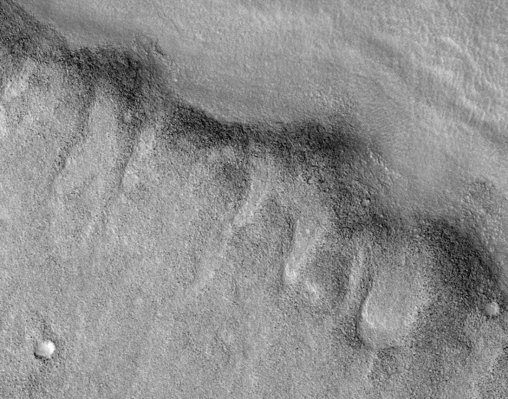
An oblique view of the channels eroded into the basalt, revealing the lighter rock beneath:
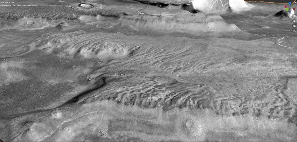
Another view showing the dark rocks to be an erosional remnant; at the edges of the bluffs, some boulders attest to some mechanical weathering as well.
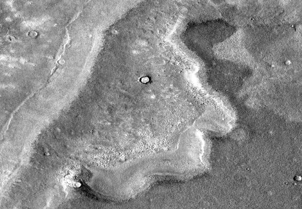
One last view of the etched surface of a mesa:
This completes the discussion of the -3600 shoreline, from Isidis Basin to Utopia Basin to the Deuteronilus Coast, with all the excursions into matters of erosion, weathering, an icecap, rifting, lava flows and sea level changes. Call it Ocean36.
Now the discussion turns to a lower, younger, sea level at about -3900m. Call this one Ocean39.
